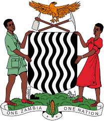
Zambia
Zambia Home

A virtual guide to Zambia, officially the Republic of Zambia, a landlocked country in central southern Africa, separated from Zimbabwe by the Zambezi River. Zambia is also bordered by Angola, Botswana, the Democratic Republic of the Congo, Malawi, Mozambique, Namibia, and Tanzania.
With an area of 752,618 km², the country is slightly larger than twice the size of Germany or slightly larger than Texas.
Zambia has a population of 15.9 million people. The capital and largest city are Lusaka. Spoken languages are English and several Bantu languages, major dialects are Bemba (ChiBemba) 33%, Nyanja (Cinyanja) 15%, Tonga (Chitonga) 11% and Lozi 5.5%.
Background:
The territory of Northern Rhodesia was administered by the South Africa Company from 1891 until the takeover by the UK in 1923. During the 1920s and 1930s, advances in mining spurred development and immigration. The name was changed to Zambia upon independence in 1964.
In the 1980s and 1990s, declining copper prices and a prolonged drought hurt the economy. Elections in 1991 brought an end to one-party rule, but the subsequent vote in 1996 saw blatant harassment of opposition parties.
(Source: CIA - The World Factbook)
Border countries: Angola, Botswana, the Democratic Republic of the Congo, Malawi
Mozambique, Namibia, Tanzania, Zimbabwe
Sign in to add your comment.
